Texas Hill Country – Scenic Drive – Day-1 (Friday)
Call or Email Brett at Double U Barr Ranch, just to let him know I’ll be there that evening.
Breakfast: Lindig’s Restaurant, on US-290 in Stonewall
Starting from: The Italian Place, in Stonewall:
Take US-290 East to Johnson City, then turn LEFT onto US-281 North.
Continue about 2 miles to RR-1323 and turn LEFT (toward Willow City). (Note: these are back roads through rolling hills and lush Pedernales River bottomland).
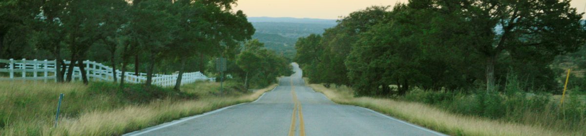
At Willow City, turn RIGHT/NORTH onto Willow City Loop (actual road name), which is a long, curvy, scenic back road, that ends at TX-16 North.
Turn RIGHT onto TX-16 North, continuing about 4 miles, and turn LEFT onto RR-965 (looking for signs to Enchanted Rock).
Continue on RR-965 for about 8 miles to Enchanted Rock.
STOP at Enchanted Rock and take hike to summit.
Head Southwest on RR-965 for about 4 miles, then turn SHARP-RIGHT onto Welgehausen Rd.
Continue 4.1 miles on Welgehausen Rd., then turn SLIGHT-RIGHT onto Keese Rd.
Continue 1 mile on Keese Rd., then turn LEFT onto Keese-Sagebeil Rd.
Continue 3.9 miles on Keese-Sagebeil Rd., then turn LEFT onto RR-2323.
Continue .2 miles on RR-2323, then turn RIGHT onto Cherry Spring Rd.
Continue 4.1 miles on Cherry Spring Rd., then turn LEFT onto US-87 South.
Continue 6.6 miles on US-87 South, then STOP at Hilltop Café (renovated old gas station/great menu/live music at night) for a meal.
Continue South on US-87 for 9.5 miles, then stay in left 2 lanes to bear/turn left onto US-87 S./US-290 junction (midway through Fredericksburg, US-87 turns right.)
Continue on US-290 for 6.8 miles, then turn RIGHT onto RR 1376.
Continue 4.6 miles to Luckenbach. OR .5 mile before Luckenbach, turn RIGHT onto Grapetown Rd.
Continue on Grapetown Rd. for 4.7 miles, then turn LEFT onto Old San Antonio Rd. (aka Old Fred Rd/Old No. 9)
Continue on Old San Antioio/Old Fred/Old No. 9, for about 12 miles. This road becomes RR-473 heading toward Comfort.
Continue on RR-473 for 4.8 miles, then turn LEFT onto US-87 for about 300 ft.
Then, turn SLIGHT RIGHT onto Avenue A, in Comfort. (Note: Comfort is an old German town. Main St. seems frozen in time (20 yrs ago).)
Continue on Avenue A for .2 mile, then use LEFT lane to turn SLIGHT RIGHT onto US-27.
Continue .5 on US-27, then turn LEFT onto Main St. (There’s a town square there) STOP. (maybe take a stroll on Main St. and stop for a snack.)
Return to US-27, turning LEFT/WEST, and continue for 8.3 miles, turning LEFT onto FM-480/San Antonio St.
Continue on FM-480, heading south, for 6.5 miles, turning LEFT onto TX-173 South.
Continue on TX-173 South for 9.6 miles, turning LEFT onto Mason Creek Loop.
Continue for .2 mile, turning LEFT onto Lower Mason Creek Rd.
Continue 1.8 miles on Lower Mason Creek Rd., then turn LEFT onto Live Oak Ridge Rd.
Continue .6 mile to Double U Barr Ranch.
…..
Return to TX-173, turning LEFT. Continue 2.8 miles on TX-173 to Main St., in Bandera.
Continue .3 mile on Main St., then turn RIGHT onto Pecan St.
Continue 300 ft. on Pecan St., then turn LEFT at 1st cross-street, which is 11th St.
The 11th Street Cowboy Bar will be on the RIGHT.
